← Back

Campotosto Lake

Lago di Campotosto, Provincia dell'Aquila, Italia ★★★★☆ 173 views
Teresa De Bois
Lago di Campotosto
🏆 AI Trip Planner 2026

Get the free app

Discover the best of Lago di Campotosto with Secret World — the AI trip planner with 1M+ destinations. Get personalized itineraries, hidden gems and local tips. Free on iOS & Android.

🧠 AI Itineraries 🎒 Trip Toolkit 🎮 KnowWhere Game 🎧 Audio Guides 📹 Videos
Scan to download iOS / Android
Scan for AppGallery Huawei users

About Campotosto Lake

Campotosto Lake - Lago di Campotosto | Secret World Trip Planner

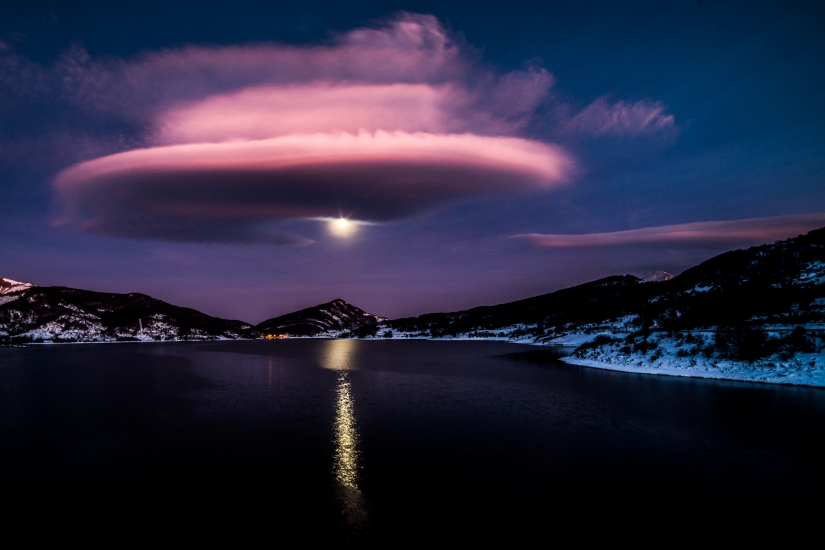
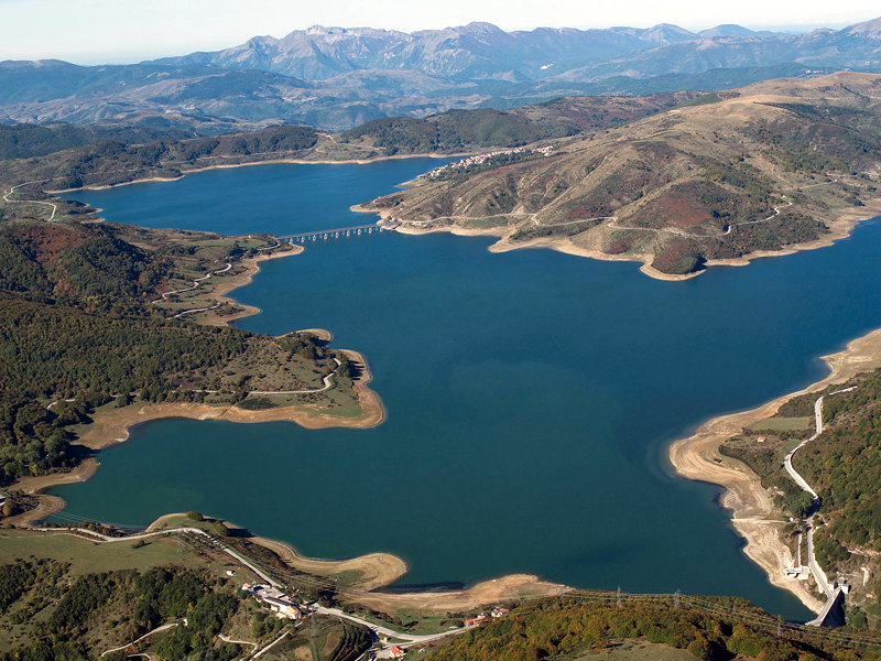
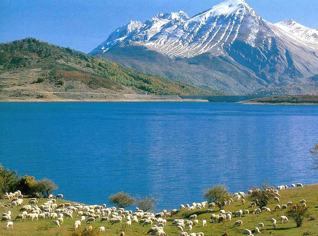
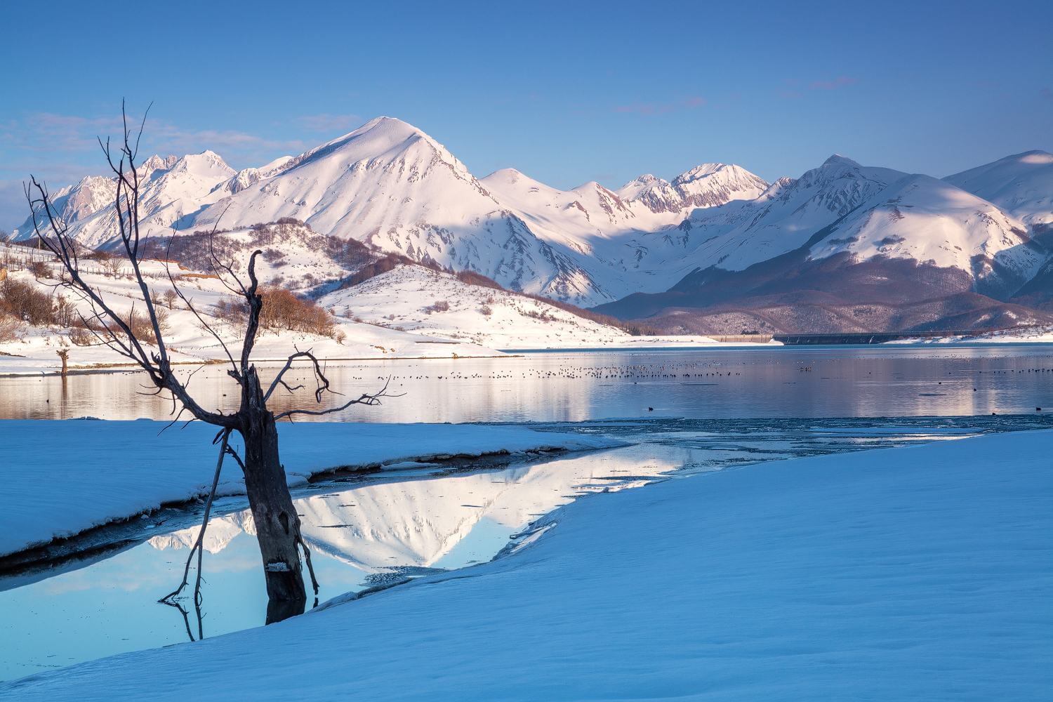
Initially the lake basin was nothing more than a pasture where all the inhabitants of the municipality used to bring their beasts. Later, with the discovery of peat (used as fuel) the basin became a mine (1887/88): the Ponte delle Stecche was built to facilitate the connection with L'Aquila. Peat excavation continued until 1924. In 1939 the construction of the Dams (Poggio Cancelli, Sella Pedicate and Rio Fucino) was begun. which gave rise to the Campotosto Artificial Lake located at 1300 a.s.l. and considered one of the most important artificial lakes in Europe. The waters of the Rio Fucino, the tributaries of the Vomano and those of the Trontino were blocked. Lake Campotosto manages to produce energy for about five different hydro-electric power plants.

Campotosto Lake - Lago di Campotosto | Secret World Trip Planner
🗺 L'app des trésors cachés

Plan your visit to Lago di Campotosto

Suggested itinerary near Campotosto Lake

MAJ+
500.000+ travelers worldwide
  1. 🌅
    Morning
    Campotosto Lake
    📍 Lago di Campotosto
  2. ☀️
    Afternoon
    Teramo Ventricina
    📍 10.5 km · Lago di Campotosto
  3. 🌆
    Evening
    Mountaineering Museum
    📍 14.3 km · Lago di Campotosto

Buy Unique Travel Experiences

Powered by Viator

See more on Viator.com

Explore nearby · Lago di Campotosto

Frequently Asked Questions

Campotosto Lake was created in 1939 when the construction of three dams (Poggio Cancelli, Sella Pedicate, and Rio Fucino) began. The artificial lake was built to harness water resources from the Rio Fucino and tributaries of the Vomano and Trontino rivers, enabling the generation of hydroelectric power for approximately five different power plants.
Campotosto Lake is located at 1,300 meters above sea level (a.s.l.), making it one of the most important artificial lakes in Europe. This significant altitude contributes to its unique alpine characteristics and surrounding landscape.
Before becoming a lake, the Campotosto basin was a pasture used by local inhabitants to graze their livestock. In 1887-88, peat mining became the primary activity after deposits were discovered, with excavation continuing until 1924, and the Ponte delle Stecche bridge was built to connect the mining operations with L'Aquila.
Campotosto Lake is a hydroelectric facility that manages water flow to produce energy for about five different hydroelectric power plants. The three dams—Poggio Cancelli, Sella Pedicate, and Rio Fucino—work together to control the water from multiple river tributaries for optimal power generation.
Campotosto Lake is fed by the Rio Fucino and the tributaries of two major rivers: the Vomano and the Trontino. These water sources were dammed in 1939 to create the artificial lake that now serves as a crucial water resource for the region.