At an altitude of 1424 meters, the Grand Ballon marks the highest point of the Alsatian Vosges and represents one of the highlights of the Route des Crêtes. From this summit, on clear days, the gaze flows unobstructed to the east: first the vineyards of Alsace arranged like a chessboard along the hills, then the Rhine plain, and finally the dark outline of the German Black Forest that closes the horizon. It is a view that needs no introduction or emphasis: it speaks for itself.

The Route des Crêtes stretches for about 170 kilometers along the ridge of the Vosges, ideally running from the north to the south of the region. Originally conceived during World War I as a military road to prevent troop movements from being visible from the German side, today it can be traversed both by car and on foot, thanks to a network of paths that follow the ridge with variations and detours. The area around La Bresse, in the Vosges department, constitutes one of the most convenient access points for those wishing to tackle the southern sections of the route.
The path: what you encounter while walking
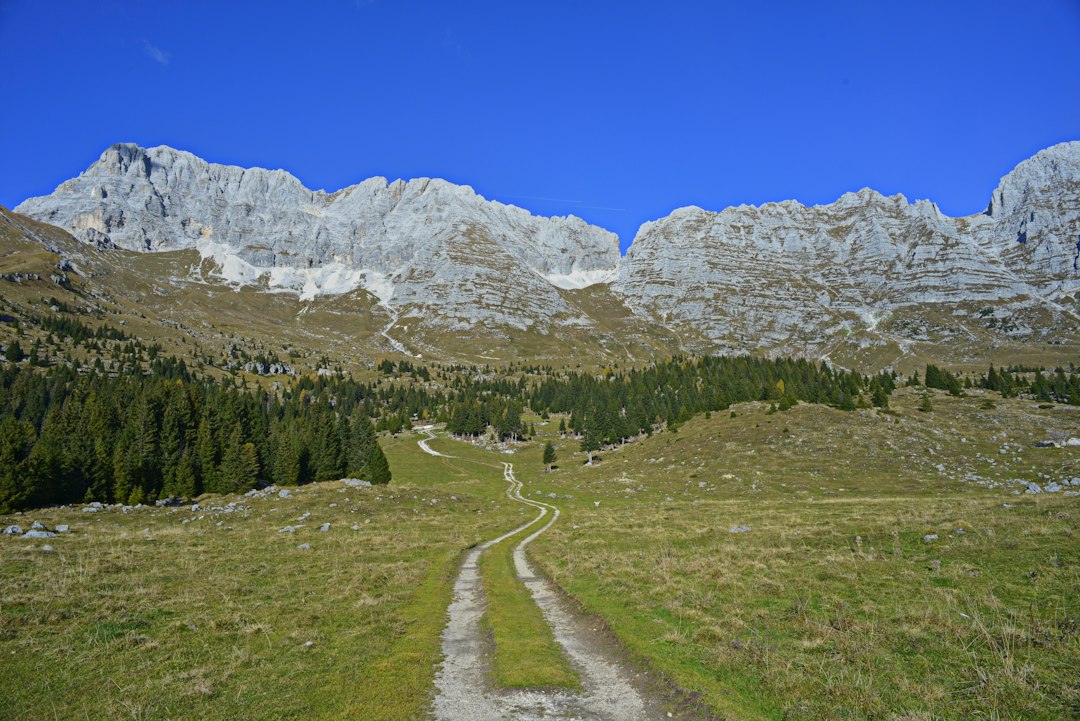
Those who choose to walk the Route des Crêtes move through a landscape that alternates between open pastures, called chaumes, and stretches of spruce and beech forest. The chaumes are high-altitude clearings created over the centuries by shepherds who brought herds to summer pastures: even today, one can find marcaireries, the traditional Alsatian farms where it is possible to purchase local cheeses such as Munster, produced in this region with cow's milk and recognizable by its orange rind and intense aroma.
The trail is marked by the Club Vosgien, the association founded in 1872 that manages and maintains the hiking network of the Vosges, one of the oldest organizations of its kind in Europe. The rectangular red markers indicate the main routes, while combinations of different colors guide on the side variants. Along the ridge, there are also stele and monuments that commemorate the battles of the Great War: small discreet signs that emerge from the grass without disturbing the silence of the landscape.
The southern sections: quiet even in August
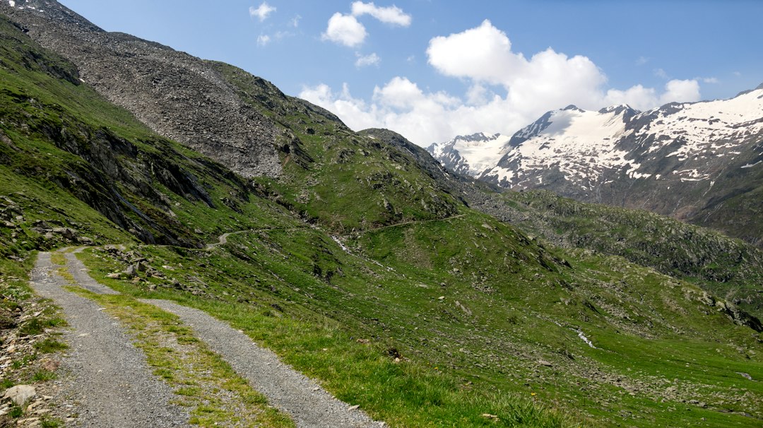
The sections of the Route des Crêtes most frequented by tourists are concentrated around the Col de la Schlucht and Hohneck, easily reachable by car and therefore more crowded on summer weekends. The southern sections, towards the Grand Ballon and beyond, remain surprisingly quiet even in the height of summer. Here, the trails are often walked without encountering other hikers for long stretches, with only the sound of the wind and the distant bell of cows grazing.

The Grand Ballon itself, although reachable by car just a few meters from the summit, is never as overcrowded as some alpine viewpoints. At the highest point, there is a small monument to the mountain hunters, the Diables Bleus, the nickname given to the soldiers of the Alpine Battalion during World War I. It is one of those physical details that can only be noticed by arriving on foot, taking the time to look around.
Flora and fauna along the ridge
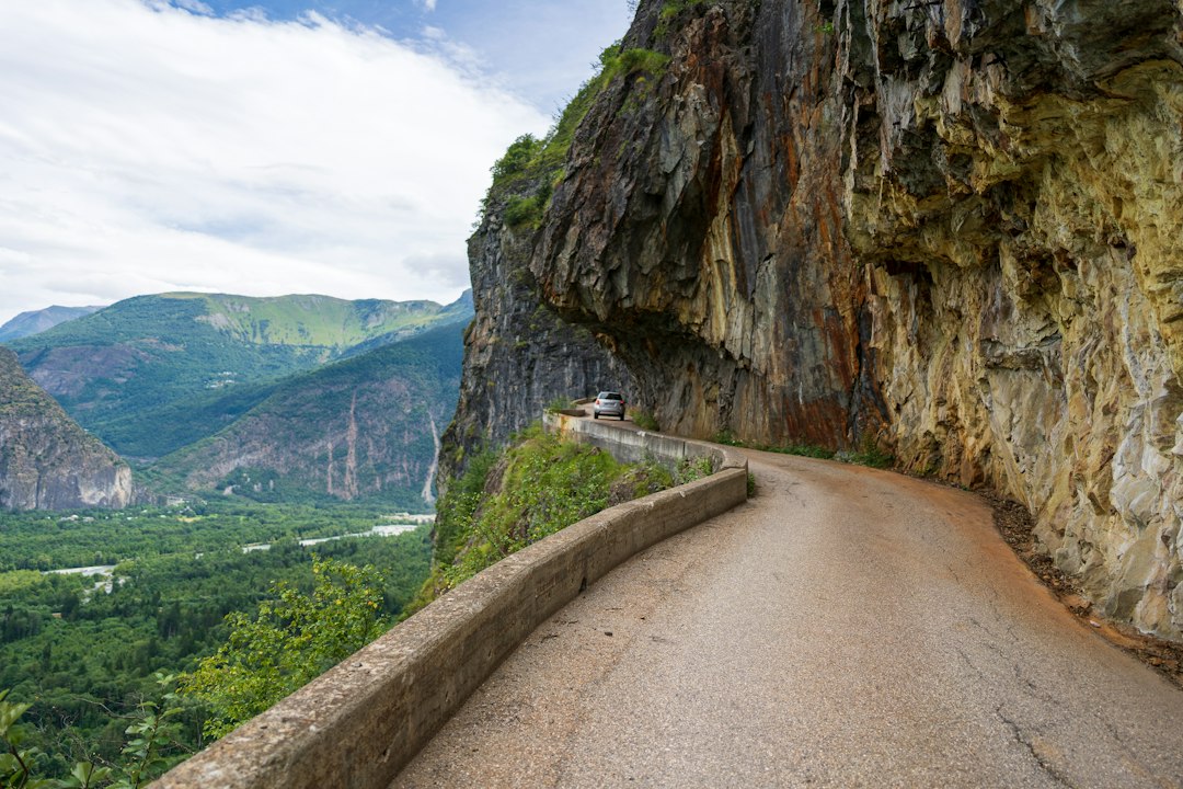
In spring, the meadows are covered with wild daffodils and gentians, while in autumn, the beech trees turn to shades of copper and gold that make the landscape particularly photogenic. The fauna includes the roe deer, the wild boar, and, with a bit of luck during twilight hours, the capercaillie. The Vosges also host a stable population of lynxes reintroduced during the 1990s, although spotting them remains a rare event.
Along some stretches of the trail, there are high-altitude peat bogs, wet and delicate environments that host specialized plants such as sundew, a carnivorous plant adapted to nutrient-poor soils. These habitats are protected and marked: it is important to stay on the marked path to avoid damaging them.
Practical tips for those who want to walk
The best time to walk the Route des Crêtes is from late May to mid-October. In winter, the ridge is often snow-covered and frequented by cross-country skiers, but the summer trails are not guaranteed. The best logistical base for the southern sections is La Bresse or Cernay, both equipped with accommodations and services. Those who do not want to walk the entire route can organize half-day circular hikes starting from the passes accessible by car, such as Col Amic or Col de Bussang.
It is advisable to bring enough water, as the springs along the ridge are not frequent. Weather conditions in the Vosges can change rapidly, with fog and rain arriving even in summer without warning: a lightweight waterproof layer in the backpack is almost always a good idea.